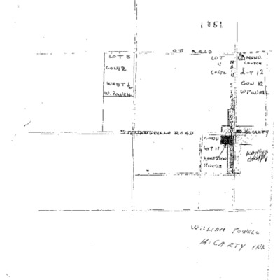
Stevensville Map from 1851
Title
Stevensville Map from 1851
Description
Listed here is a map of Stevensville from 1851 which illustrates lots and land grants at the time.
Source
Louis McDermott Collection
Date
1851
Collection
Citation
“Stevensville Map from 1851,” Fort Erie Local History, accessed July 24, 2024, https://www.fepl.ca/localhistory/items/show/5445.

